For the five years I lived in Vermillion, I made several trips up to Yankton, and one of the most anticipated destinations was the Gavins Point Dam. In fact, this was the first dam I
For the five years I lived in Vermillion, I made several trips up to Yankton, and one of the most anticipated destinations was the Gavins Point Dam. In fact, this was the first dam I had ever seen. I was mystified by the waters’ power, the energy generated by the dam and dispersed to the surrounding areas, and its history.
Pick-Sloan Plan
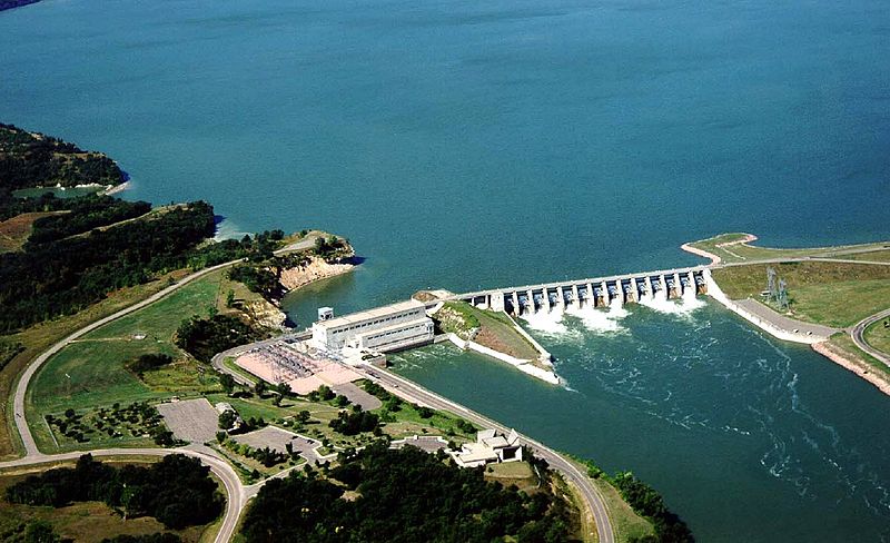
Constructed from 1952 to 1957, built by the U.S. Army Corps of Engineers, and authorized by the Flood Control Act of 1944, the Gavins Point Dam is part of the Pick-Sloan Plan, which was created to help control the constant flooding of the Missouri River. In addition to flood control, the dam aids in irrigation, supplemental water supply, sediment control, and creation of recreation opportunities.

usbr.gov
In fact, the Gavins Point Dam is one of six along the Missouri River. The other five are, South Dakota’s Fort Randall Dam, Big Bend Dam, and Oahe Dam, North Dakota’s Garrison Dam, and finally Montana’s Fort Peck Dam. Meaning, we here in Siouxland are privy to the most downstream dam on the 2,000-mile-long Mighty Mo!
Calumet bluff
In our previous post about the Lewis and Clark Visitor Center, we talked about Calumet Bluff. This is where Lewis and Clark met the Yankton Sioux, and this is where the dam is built. However, this was not the original location. Gavins Point, a bluff further upstream named after an early settler, was the initial spot where dam construction was to begin. However, investors and engineers noticed the shorter distance needed to cross the Missouri at Calumet Bluff.
how big is the dam?
Less fill material needed to build the dam at this location meant money saved, and a reduced time constraint to finish the project. Costing $50 million, the dam is a mile and half long, 850 feet thick at its base, and 74 feet high.

visityanktonsd.com
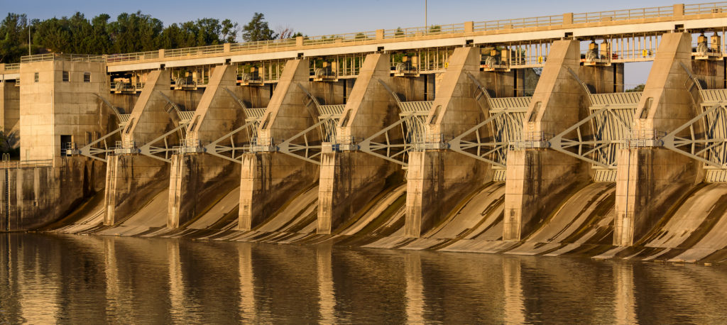
Seven million cubic yards of earth were used to build the dam. As part of the intake structure, 110 foot tall pillars of concrete were erected on the river bottom. There are 13 spillways, with 14 steel spillway gates which are 30 feet wide and weighing 23 tons! And like all dams, this one also generates power. Housing three generators, the Gavins Point Dam is capable of supplying electricity to 68,000 homes.
our visit
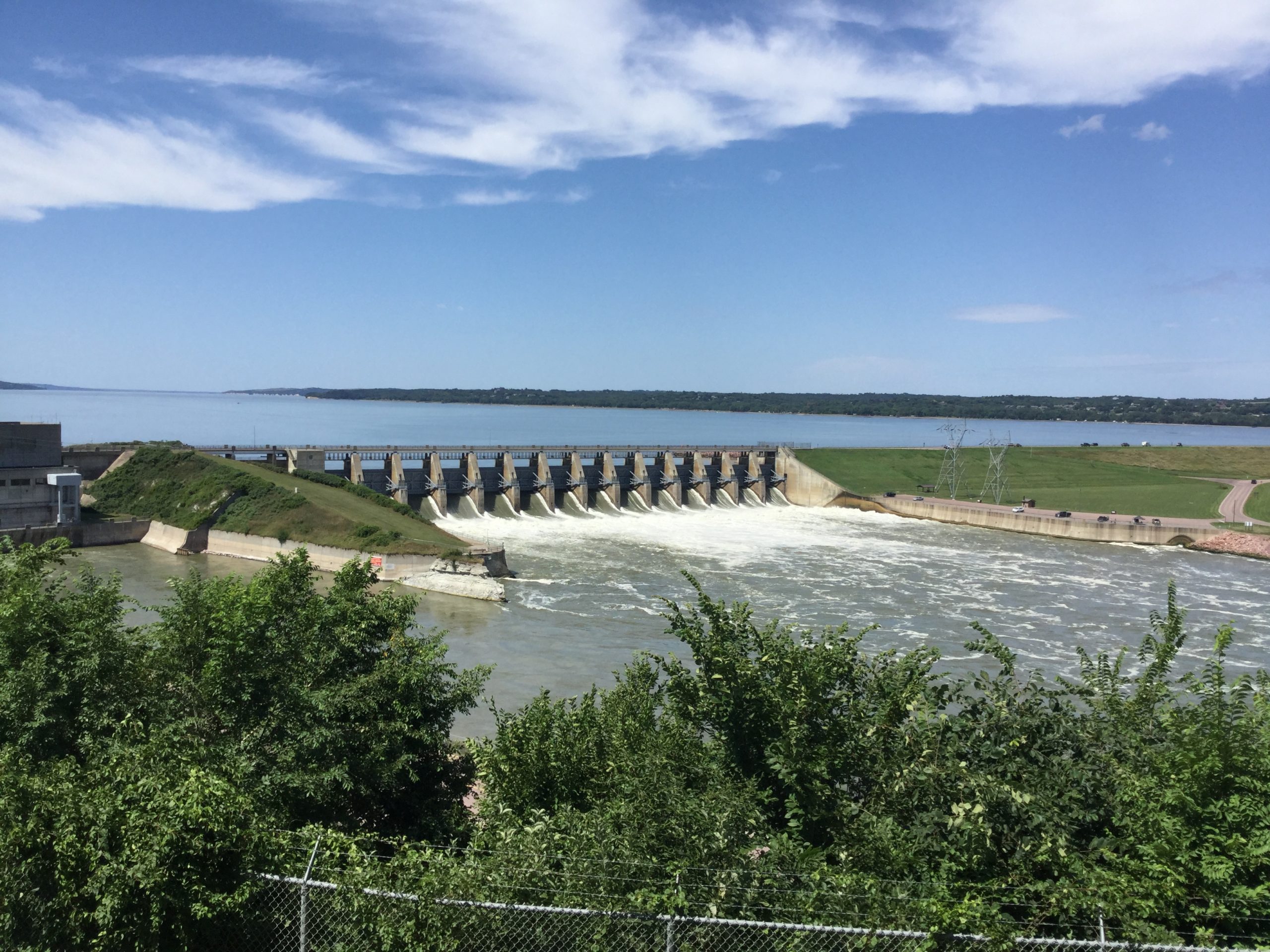
This was our third stop of the day, right behind the Fish Hatchery and the Visitor Center. Driving across the dam is always exciting, and since it is a one-lane road, you have to wait for your signal to cross. Finding our parking spot, my husband and I walked over to the viewing area, taking in the sound of the raging waters and the impressive size of the dam.
Watching fishermen on boats and on the water’s edge casting their lines into the river, we sat on a bench for about half an hour enjoying the late afternoon. This would be a wonderful place to come and people watch while reading a beach novel.
Take a dam tour!
We opted to not take a guided tour of the dam since we had dinner plans, but you are more than welcome to learn how the power plant operates, and see the generators in action on your tour. Open Memorial Day through mid-August, tours are available 9:00 am, 10:00 am, and 11:00 am, and then again at 1:00 pm, 2:00 pm, 3:00 pm, and 4:00 pm Friday, Saturday and Sunday.

By U.S. Army Corps of Engineers – http://www.nwd-mr.usace.army.mil/rcc/reports/pdfs/MissouriRiverFloodingUpdate18-June.pdf., Public Domain, https://commons.wikimedia.org/w/index.php?curid=15606517
If you plan to visit the dam, I recommend driving up to the Lewis and Clark Visitor Center first, and learning about the planning and construction of Gavins Point Dam before you schedule a tour. This way you will have an introduction to its history and the ecological impact to the surrounding landscape the dam has created.
Lewis and clark lake
As a result of the completion of the Gavins Point Dam, the Lewis and Clark Lake was created. The term used is “impounded”, meaning this lake was formed by the dam, and a direct result to changing the surrounding landscape.

outdoornebraska.gov
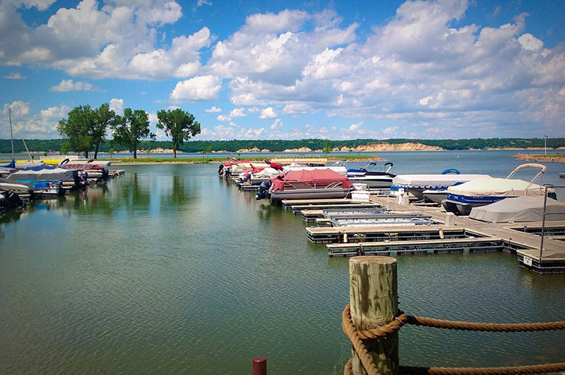
Approximately 25 miles long, the lake offers 90 miles of shoreline with 31,400 acres of water, and has a maximum depth of 45 feet. Managed by the U.S. Army Corps of Engineers, the lake sits on the South Dakota / Nebraska state line, and thus is also supervised by both states in addition to the USACE.
I’ve made several visits to this lake, and absolutely loved its versatility. My college friends and I would pack lunch for a picnic, go for swim, hike, and lay out on the beach. Estimating over one million visitors annually, this has become a quintessential vacation spot for travelling families all summer long.
already planning for a second visit
My husband and I did not drive around the lake this time since we are planning our visit this coming August, and we will take advantage of all the outdoor recreation activities that are made available to us then. We can’t wait for Riverboat Days 2020! And I can’t wait to experience it, and feature it on my blog.
plan your visit
With the budget-friendly price tag of FREE, planning your visit to Gavins Point Dam couldn’t be any easier. Educational for adults and children, this is a unique destination for the whole family. I hope you are able to plan your visit this Summer, and make sure you support local businesses and artists at this year’s Riverboat Days!


